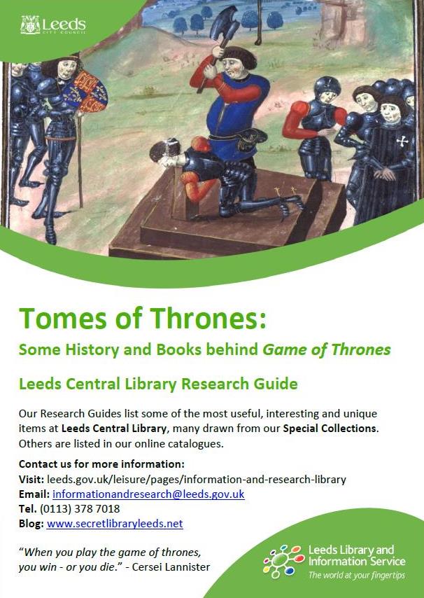
- by Antony Ramm, Local and Family History, Central Library
Following on from our recent stock pop-up based on the Game of Thrones series and some of the real-world history that inspired its author, George R.R. Martin, we present the latest in our Research and Collection Guides series. Entitled ‘Tomes of Thrones’, this guide lists many of the books used to create that exhibition and is designed to give the interested reader a solid starting point for delving deeper. Click on the image at the end of this article to view the full collection.
The exhibition was intended to connect Martin’s influences and sources to the remixed forms they take in his writing, as well as the subsequent TV series based on that work. One example of this process is maps.
Maps are an essential part of the Game of Thrones experience, central to the books and the opening credits of the TV series. And rightly so; for an invented world to be truly immersive, it requires the reader or viewer to have a realistic sense of the geography that the people, places and events are situated within.
The world created by Martin is no different – only, as always, the author has been very careful to connect that fantastical world to our very real one. One pleasure for keen followers of the series is the realisation that the continent of Westeros most obviously resembles that of Great Britain with Ireland turned upside down and placed at its most southerly end.

None of this would have been possible without pioneers of the cartographic art, such as Matthew Paris’s 13th Century map of Great Britain and Christopher Saxton’s monumental Atlas of the Counties of England and Wales (1579) – the first Atlas ever produced. On display at the pop-up were a 1928 reproduction of Paris’ maps, a copy of the first map of Leeds, from 1560, and a 1936 facsimile of Saxton’s work (the library is additionally honoured to hold an original copy of Saxton’s Atlas, one of only a handful still in existence).

If the guide whets your appetite for more, keep your raven’s third-eye open for a full repeat of the event later in the year.