by Antony Ramm, Local and Family History, Central Library
While many people are probably already aware that the Central Library holds a great many maps relating to Leeds and Yorkshire (those who aren’t are advised to view this Research Guide for more details), a lesser-known part of our Map Collection relates to maps of England and Wales. Comprising around 200 maps in total, here is a brief look at some of the most interesting. To view any of these maps, visit the Local and Family History department on the 2nd Floor of the Central Library, or call 0113 378 5005 for more details. Alternatively, click here to see a full list of this Map set.
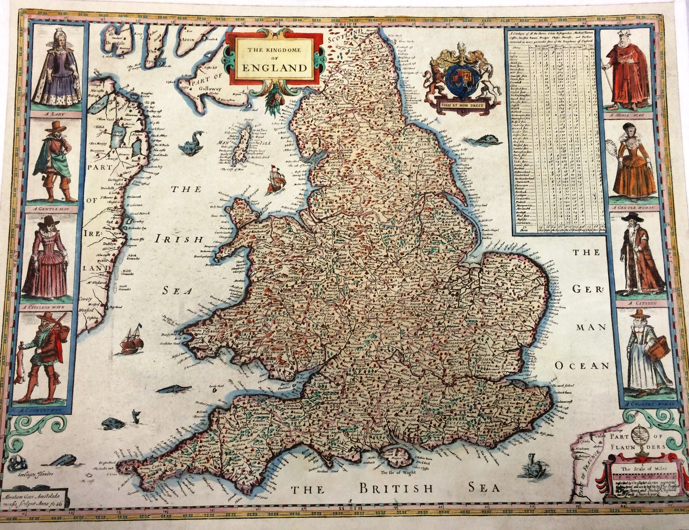
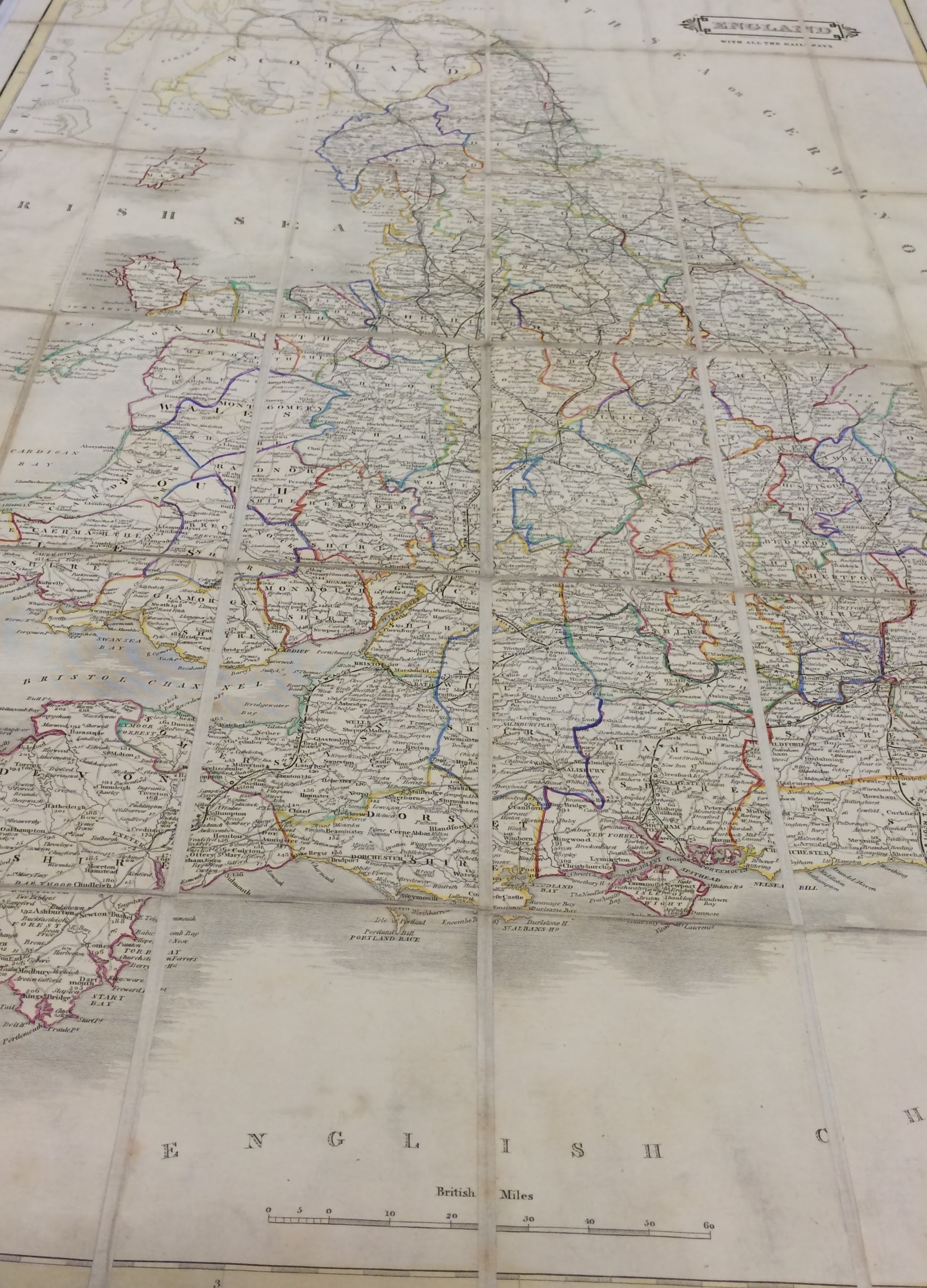
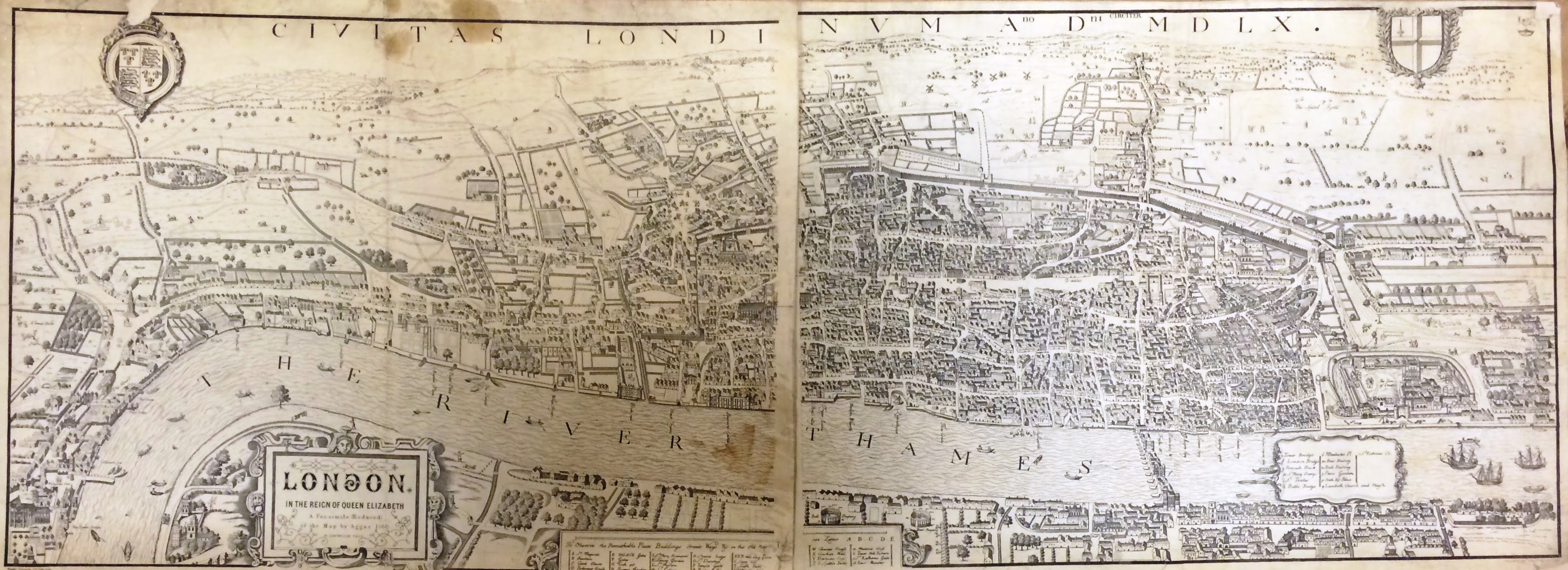
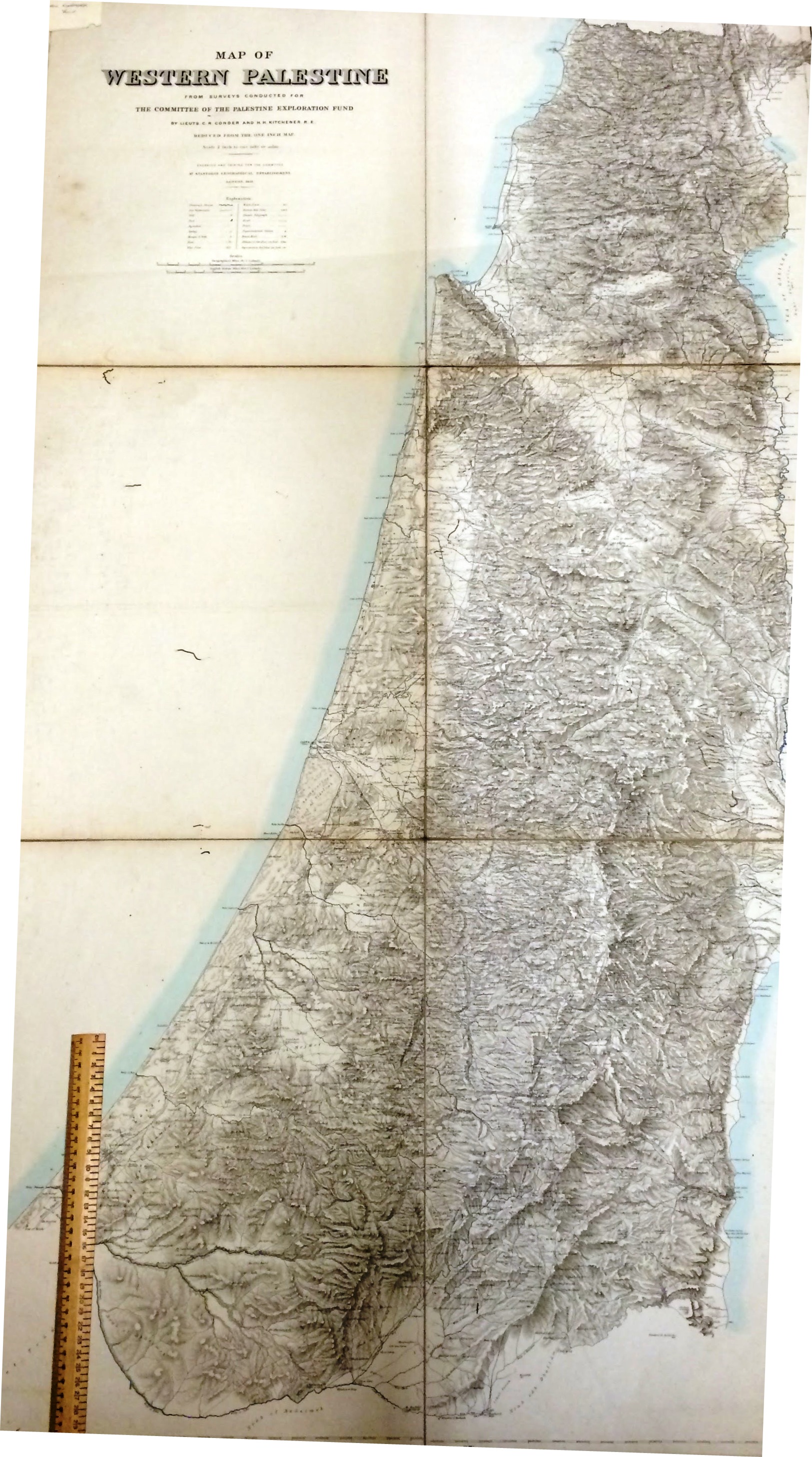
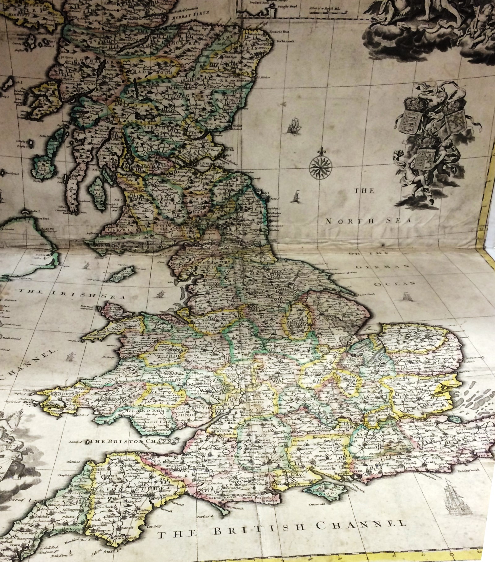
One of forty German maps of England and Wales. From 1938, this image is of North LondonWyld’s 1849 chart of the Arctic region – as drawn for Lady Franklin in her search for her husband’s lost expedition. See also this article and Research Guide on our Arctic collectionsKitchin’s Enlarged Map of the Roads of England and Wales with the exact distances by the milestones between Town and Town (1786)Saxton and Speede’s 1646 map of the ‘Kingdome of England’. For more on Saxton’s cartography, see this article on the rare copy of his Atlas held at the Central Library19th-century map showing ‘England with all the Railways’Facsimile, in two parts, of Agas’ 1560 map of London1881 map of Western Palestine – with 30cm rule to give sense of scaleJohn Senex’s 1714 ‘A New Map of Great Britain’1880 map of London drawn for the Post Office Directory